SBP-29 mapping
Completed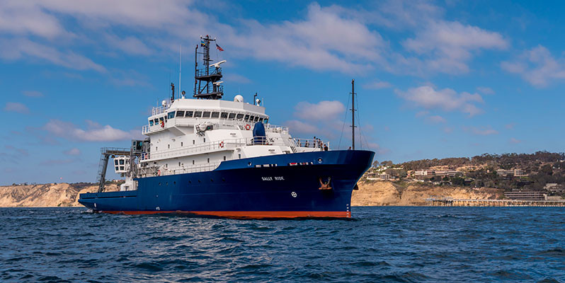
Planned route: 71 segments · ~8 days steaming · 70 stations
Operating area: Eel River shelf and Cascadia Margin
Route: San Diego (California) - United States → Newport (Oregon) - United States
Scripps Institution of Oceanography
Projects aboard (2)
West Coast SBP (Orange)
This cruise is part of a multi-year effort to use the R/V “SALLY RIDE” to acquire SBP29 data over sites surveyed in 2021 and 2023, features we were not able to survey in 2021, and to return to and to acquire SBP29 data offshore Northern California and offshore Oregon to compare to other sub-bottom profilers. In 2024 we will concentrate on areas offshore Central California including MBARI ROV sites around Davidson Seamount (e.g.: “Octopus Garden”), the Monterey Submarine Canyon and Fan, a known cold seep location on “Smooth Ridge” in Monterey Bay, and the San Gregorio Fault. We will survey sites offshore northern California and Oregon including cold seep sites and Hydrate Ridge on the Cascadia Accretionary Complex, the “Humboldt Slide” and Table Bluff Anticline in the STRATAFORM study area, and the San Andreas Fault.
People aboard
West Coast SBP (Orange)
- Daniel Orange · Principal investigator
SBP-29 mapping
- Charles Holland · Principal investigator
Party size: 12
Estimated vacant berths: 14
Equipment
Aboard the vessel
- Multibeam - Deep Water (EM122, EM124)
- Ship Fitted Winches & Wires
- Navigation - Heading/Position
- Echosounder, 3.5kHz CHIRP
- Dynamic Positioning (DP)
- Multibeam - Deep Water (EM122, EM124)
Pooled / portable
- XBT
- CTD
- XBT
Schedule data from UNOLS Marine Facilities Planning · operator cruise code SR2414 Orange · MFP references 23/3768, 21/888 · synced Sep 30, 2026