OOI-Irminger Sea 2025
Completed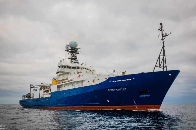
Planned route: 5 segments · ~4 days steaming · 4 stations
Operating area: SE of Greenland
Route: Reykjavik - Iceland → Reykjavik - Iceland
Project aboard
To carry out the recovery and redeployment of the NSF Ocean Observatories Initiative (OOI) Irminger Sea Array, servicing four moorings and up to five gliders in an area southeast of Greenland (38-41W, 58-61N). The platforms will carry multidisciplinary instrumentation and provide the capability for real time communication of data and control of sampling. A surface mooring will instrument the sea surface and upper ocean, capturing the surface forcing and upper ocean variability. A profiling mooring will measure through the water column. Two additional taut subsurface moorings and the gliders will complete the capabilities to obtain vertical profiles and sample the mesoscale (10s to 100 km) variability at the site. Shipboard data will be obtained to assess the performance of the instrumentation.
People aboard
- Deidra Emrich · Principal investigator
Party size: 20
Estimated vacant berths: 17
Equipment
Aboard the vessel
- pCO2
- Ship Fitted Winches & Wires
- Crane
- Stern A-Frame
- Navigation - Heading/Position
- Dynamic Positioning (DP)
- Underway Seawater System
- Meteorological Data
- Echosounder, 12kHz
- Echosounder, 3.5kHz CHIRP
- ADCP/UHDAS – range < 80m (eg. 300kHz)
- ADCP/UHDAS – range 250-350m (e.g. 150kHz)
- ADCP/UHDAS – range 1000m-1200m (e.g. 38kHz)
- Multibeam - Deep Water (EM122, EM124)
- Multibeam - Shallow-water (EM710/712/2040/Seabat 7100)
- Biological multi-frequency echosounder - EK80
Pooled / portable
- CTD
- Winch Pool Portable Winch
- Gyrocompass
Science party brings
- Portable Laboratory Vans/Containers - Science Supplied
- Science Supplied Portable Winch
- Science-provided vans ×4
Schedule data from UNOLS Marine Facilities Planning · operator cruise code RR2505 Lund · MFP reference 24/4201 · synced Sep 24, 2026