southern Puerto Rico seismic sequence
Completed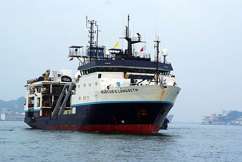
Operating area: southern Puerto Rico
Route: San Juan - Puerto Rico → Ponce - Puerto Rico
Lamont-Doherty Earth Observatory
Project aboard
The 2019-2020 seismic swarm in southwestern Puerto Rico consisted of +13,000 earthquakes (M≥2.5) with 43 earthquakes with Mw ≥ 4.5 since its start on December 28, 2019. It was not a typical main shock with aftershocks diminishing in magnitude with time, but appeared to rupture a zone of diffuse deformation, where rupture may be transitioning from one fault to another (ten Brink et al., Tectonics, 2022). This activity may reflect the establishment of a new block boundary between Puerto Rico and Hispaniola, where Hispaniola is moving west relative to Puerto Rico. Most of the activity during this sequence occurred offshore, including the largest event, the Mw6.4 on January 7, 2020. The earthquake sequence caused extensive damage in coastal towns, co-seismic subsidence around Guayanilla Bay, liquefaction, ground failures, and the collapse of an iconic coastal rock bridge. The activity was centered around a defunct oil refinery and strategic facilities for the island, such as a liquid natural gas terminal, and an electric power station. The prolonged seismic activity had thus created anxiety among the island’s population. To better understand the seismic activity, the USGS carried out with logistical support by the University of Puerto Rico, a “rapid response” cruise on March 7-13, 2020, (just before the COVID lockdown) to map the faults. Logistical and environmental constraints necessitated the use of small sound source and receiving system. The only available boat was too small for the sea state and did not allow the collection of a dense seismic cruise at the desired line orientations. Although numerous faults were observed, line spacing was too sparse to determine the faults' geometry and their possible coalescence at depth. The goal of the proposed survey is to improve detection of the faults with depth and map their spatial connections and relationships by collecting a denser grid of seismic lines at the desired orientation aboard a larger ship, and by using GI guns and a longer streamer.
People aboard
- Uri ten Brink · Principal investigator
Party size: 5
Estimated vacant berths: 30
Equipment
Aboard the vessel
- Echosounder, 12kHz
- Echosounder, 3.5kHz CHIRP
- Gravimeter
- Multibeam - Deep Water (EM122, EM124)
Schedule data from UNOLS Marine Facilities Planning · MFP reference 22/1593 · synced Sep 24, 2026