Seamount AUV
Completed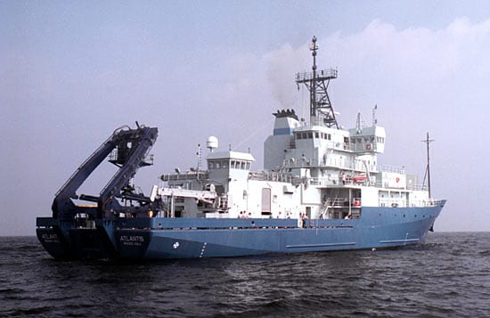
Loading map…
PortMooring / vehicle
Operating area: Atlantis II Seamount
Route: Woods Hole (Massachusetts) - United States → Woods Hole (Massachusetts) - United States
Mar 4 – Mar 10, 20226 days at seaactual: departed Mar 4, 2022, arrived Mar 10, 2022
Feb 2022
Mar
Apr
Project aboard
This cruise is to carry out an seafloor survey to determine the seabed properties using AUVs. The study site is the Atlantis II seamounts, and the survey equipment include acoustic sonar systems and optical camera. The acoustic data will be used to estimate the seafloor and sub-bottom properties, and the optical images are to provide visual confirmation.
People aboard
- Ying-Tsong (YT) Lin · Principal investigator
Party size: 24
Estimated vacant berths: 13
Equipment
Aboard the vessel
- Gravimeter
- Dynamic Positioning (DP)
- Underway Seawater System
- Meteorological Data
- Echosounder, 12kHz
- Echosounder, 3.5kHz CHIRP
- Pinger, 12kHz
- ADCP/UHDAS – range < 30m (e.g. 600kHz-1200kHz)
- ADCP/UHDAS – range < 80m (eg. 300kHz)
- ADCP/UHDAS – range 250-350m (e.g. 150kHz)
- ADCP/UHDAS – range 1000m-1200m (e.g. 38kHz)
- ADCP/UHDAS – range 500-750m (e.g. 75kHz)
- HDSS (140kHz + 50kHz)
- Multibeam - Deep Water (EM122, EM124)
- Multibeam - Shallow-water (EM710/712/2040/Seabat 7100)
- Multibeam - Mid-Water (EM302/304)
- Ultra-Short Base-Line Acoustic Navigation System
Pooled / portable
- XBT
- CTD
- Other AUV
Schedule data from UNOLS Marine Facilities Planning · operator cruise code AT47 · MFP reference 21/1324 · synced Sep 24, 2026