SAB2MAB
Tentative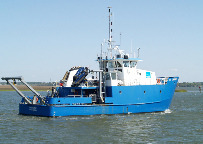
Planned route: 9 segments · ~4 days steaming
Operating area: Western North Atlantic off the US east coast of NC
Route: To be confirmed → To be confirmed
Skidaway Institute of Oceanography
Project aboard
The continental shelf near Cape Hatteras, NC is one of the strongest biogeographic barriers in the ocean. However, the processes that allow transport from the south to the north against the prevailing equatorward currents are poorly understood Transport of marine organisms across convergence zones is key to understanding the deterrents to biodiversity shifts in the coastal ocean. The purpose of this work is to determine the dominant mechanisms of shifts from the South Atlantic Bight to the Mid-Atlantic Bight (SAB2MAB) by conducting the first comprehensive ichthyoplankton surveys in this region in over twenty years and combining observations with state-of-the-art spatio-temporal modeling. Since little to no data on egg and larval distribution exist in this region and the existing data are decades old, current data on fish egg and larval distribution are needed to generate current spawning index maps and to compare to model results of potential and realized connectivity. Our field sampling will compare cool vs. warm season transport and connectivity from the SAB to MAB. We propose to conduct four cruises over two years, one in each season.
People aboard
- Janet Nye · Principal investigator
Party size: 10
Estimated vacant berths: 10
Equipment
Aboard the vessel
- Ship Fitted Winches & Wires
- Stern A-Frame
- Underway Seawater System
- Meteorological Data
- Echosounder, 12kHz
- Echosounder, 3.5kHz CHIRP
- ADCP/UHDAS – range < 80m (eg. 300kHz)
Pooled / portable
- CTD
Schedule data from UNOLS Marine Facilities Planning · MFP reference 25/6255 · synced Sep 24, 2026