JQZ-Phoenix-MCS-2
Scheduled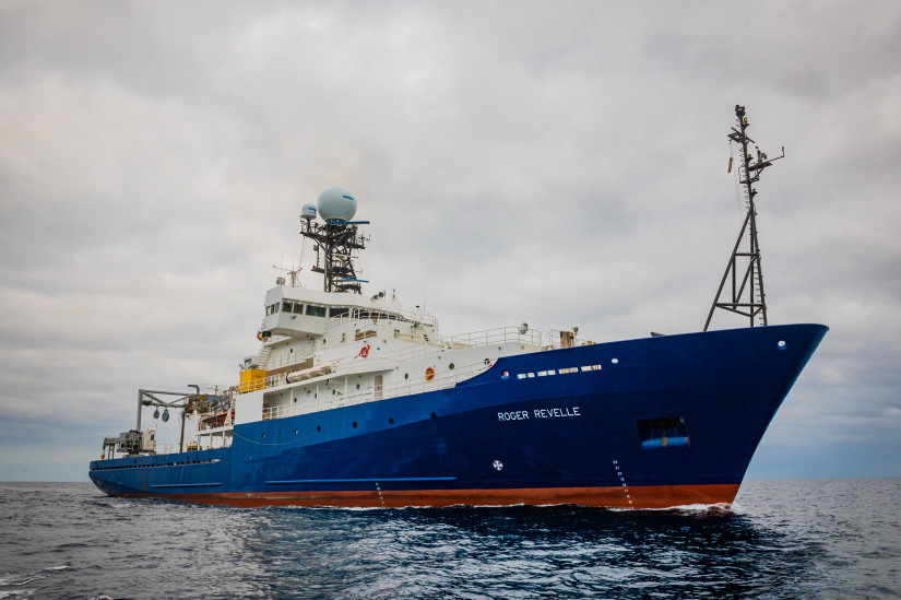
Planned route: 17 segments · ~19 days steaming · 16 stations
Operating area: western equatorial Pacific/Marshall Islands/Micronesia
Route: Apra (Agana) - Guam → Apra (Agana) - Guam
Project aboard
This project examines a poorly understood period of geomagnetic field history, the Jurassic Quiet Zone, during which geomagnetic field strength appears to be much lower than normal and the reversal rate much higher than normal. Changes in geomagnetic field behavior are thought to have geodynamic significance, such as indicating heat flux to the mantle from the core, affecting mantle convection. The primary objective of the Phoenix JQZ project is to measure the magnetic anomaly record in the Phoenix lineation set, for comparison to the other two extant marine magnetic records from this period, to better understand the causes and effects of rapid changes in the geomagnetic field. An initial research cruise collected Multi-Channel Seismic (MCS) data over part of the study area to define the top of the magnetic source layer within oceanic crust. This expedition is intended to complete the half of the seismic survey that was missed due to equipment failure, and will be followed directly by another leg to collect multi-scale magnetic data using surface-towed, midwater-towed, and near-seafloor AUV magnetometer deployments. MCS data acquired and processed in advance of the magnetometry leg will enable informed planning for AUV Sentry dives.
People aboard
- Masako Tominaga · Principal investigator
- Hannah Mark · Chief scientist
- Masako Tominaga · Chief scientist
Party size: 22
Estimated vacant berths: 15
Equipment
Aboard the vessel
- Ship Fitted Winches & Wires
- Crane
- Stern A-Frame
- Navigation - Heading/Position
- Meteorological Data
- Echosounder, 3.5kHz CHIRP
- Multibeam - Deep Water (EM122, EM124)
- Multibeam - Mid-Water (EM302/304)
Pooled / portable
- CTD
- XBT
- Gravimeter
- Magnetometer (towed)
- Portable Seismic System
Schedule data from UNOLS Marine Facilities Planning · operator cruise code RR2702 Mark · MFP reference 25/5653 · synced Sep 24, 2026