RCA-VISIONS'26
Completed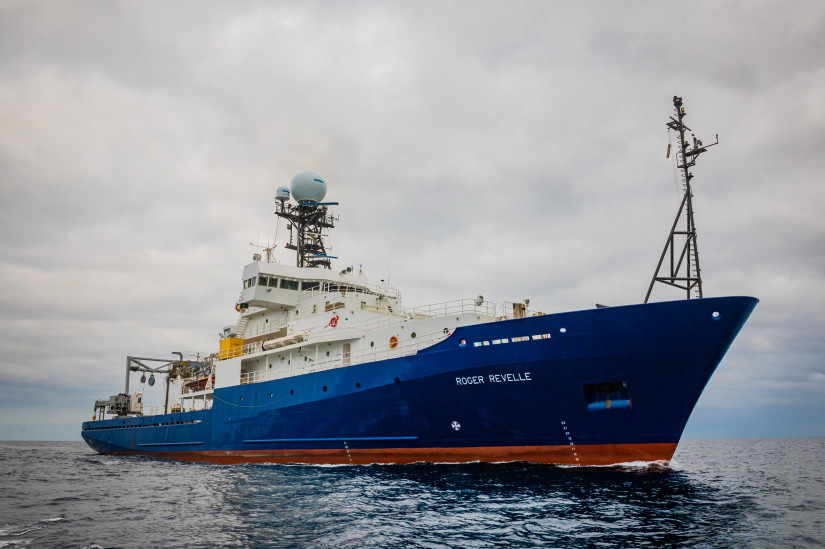
Planned route: 7 segments · ~2 days steaming · 6 stations
Operating area: NE Pacific Cascadia Margin and Axial Seamount
Route: Newport (Oregon) - United States → Newport (Oregon) - United States
Scripps Institution of Oceanography
Projects aboard (2)
Ancillary-OOI-RCA-2026 (Multi-Scale Geodesy-6of8)
Axial Seamount is the most active submarine volcano in the NE Pacific, having erupted in 1998, 2011, and 2015. Because of this, it is an ideal natural laboratory for the long-term study of active processes at a submarine volcano, with periodic perturbations to hydrothermal systems and chemosynthetic biological communities. Long-term monitoring at Axial has built a remarkable time-series of bottom pressure measurements and repeated bathymetric mapping with Autonomous Underwater Vehicles (AUVs) that have documented a cycle of inflation and deflation of ±2-4 meters that has been used to forecast eruptions with increasing accuracy. Since the 2015, Axial has reinflated to >90% of its pre-eruption threshold, but over this same time period the rate of inflation has slowed by an order of magnitude. Consequently, the next eruption is still likely several years away. This project aims to continue this monitoring effort for another 5 years, while improving the techniques, survey designs, and data analysis on several fronts in order to provide improved constraints for modeling the surface deformation to better understand the magma supply and storage system at the volcano. For this project, we request support for field work with ROV Jason and AUV Sentry at Axial Seamount in 2024, 2026, and 2028. Specifically, we propose to: (1) continue the deformation surveys every other year, including both pressure measurements and AUV bathymetric re-surveys over the next 5 years, (2) modify the ROV-based pressure surveys to become more time-efficient by changing reference sites so that we can add more benchmarks in the caldera to better constrain deformation models, (3) add benchmark sites to constrain slip across the caldera faults to increase our understanding of the relationship between deformation and seismicity, and (4) continue OOI Regional Cabled Array (RCA) seafloor-CTD turn-arounds so that salinity sensors will be in place in the caldera during the next eruption to test a hypothesis about co-eruption brine release. These multi-scale monitoring efforts at Axial Seamount will be leveraged by NSF’s infrastructure investment in the OOI-RCA, which provides real-time monitoring data that greatly enhances these efforts. The results from this study will also help to increase our understanding of the shallow magma supply and storage systems at active basaltic volcanoes, the processes that lead to and trigger eruptions, and the pathways that magma takes to the surface during eruptions. This work at Axial Seamount is aimed at helping us better understand eruption processes at volcanoes on land that are more hazardous to people and property.
People aboard
Ancillary-OOI-RCA-2026 (Multi-Scale Geodesy-6of8)
- Bill Chadwick · Principal investigator
- Deborah Kelley · Chief scientist
RCA-VISIONS'26
- Deborah Kelley · Principal investigator
Party size: 34
Estimated vacant berths: 3
Equipment
Aboard the vessel
- Dynamic Positioning (DP)
- Ultra-Short Base-Line Acoustic Navigation System
- Crane
- Navigation - Heading/Position
- Dynamic Positioning (DP)
- pCO2
- Meteorological Data
- ADCP/UHDAS – range 250-350m (e.g. 150kHz)
- Multibeam - Deep Water (EM122, EM124)
Pooled / portable
- CTD
Science party brings
- Science-provided vans
Schedule data from UNOLS Marine Facilities Planning · operator cruise code RR2607 Kelley · MFP references 22/1724, 26/6647 · synced Sep 30, 2026