PAL LTER 2026
Completed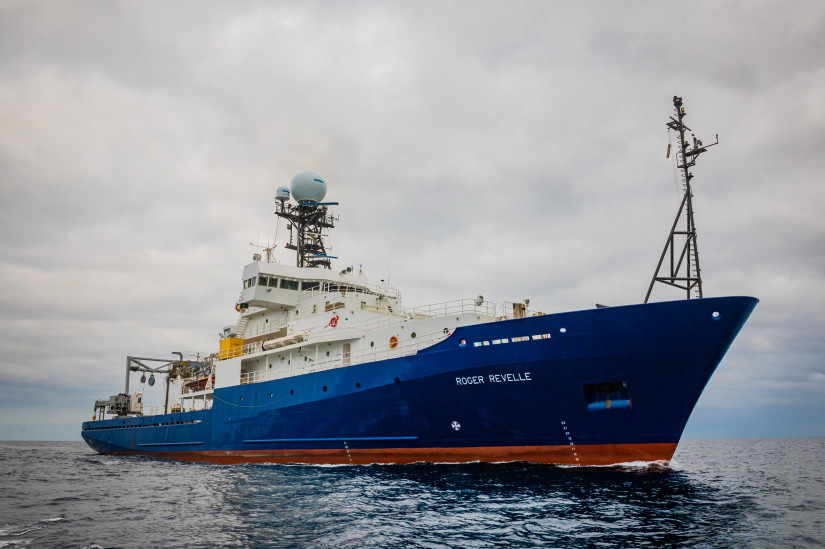
Planned route: 109 segments · ~22 days steaming · 48 stations
Operating area: Western Antarctic Peninsula
›3 legs· Punta Arenas (Magallanes) - Chile → Punta Arenas (Magallanes) - Chile
- 1Punta Arenas (Magallanes) - Chile→Rothera - AntarcticaJan 10 – Feb 8, 2026 · 30 d
- 2Rothera - Antarctica→Palmer - AntarcticaFeb 9 – Feb 21, 2026 · 12 d
- 3Palmer - Antarctica→Punta Arenas (Magallanes) - ChileFeb 22 – Feb 28, 2026 · 6 d
Scripps Institution of Oceanography
Projects aboard (2)
MWMS_LTER
This project will build a new instrument to measure meltwater from glaciers in the ocean. The causes and impacts of melting glaciers are a challenge to observe and predict, because they unfold in complex and hard to reach places: beneath miles of ice, under floating ice shelves, and during the coldest times of the year. The objective of this instrument is to increase oceanographer's capacity to measure and map glacier melt in the ocean by 300-400%, while reducing costs and providing near real-time results. This increase in measurement capacity will permit comparison of regional and seasonal changes in the glacier melt from the ice-covered land masses of Antarctica and Greenland. The instrument will be field validated in Rhode Island coastal waters, and then it will be used to measure glacier melt near the US Palmer Station on the Antarctic Peninsula. The partnership between the University of Rhode Island and SRI international presents an important public-private partnership that will encourage the use of private-sector technology for open access research, and recruit the future workforce in environmental sensing technology by employing undergraduate ocean engineers and supporting a graduate student.
People aboard
MWMS_LTER
- Brice Loose · Principal investigator
PAL LTER 2026
- Deborah Steinberg · Chief scientist
- oscar schofield · Principal investigator
Party size: 21
Estimated vacant berths: 16
Equipment
Aboard the vessel
- Underway Seawater System
- pCO2
- Meteorological Data
- ADCP/UHDAS – range < 80m (eg. 300kHz)
- ADCP/UHDAS – range 250-350m (e.g. 150kHz)
- ADCP/UHDAS – range 1000m-1200m (e.g. 38kHz)
- ADCP/UHDAS – range 500-750m (e.g. 75kHz)
- Ship Fitted Winches & Wires
- Overboarding Cable - Copper Conductor(s)
- Overboarding Cable - Fiber Optic
- Crane
- Stern A-Frame
- Navigation - Heading/Position
- Dynamic Positioning (DP)
- Underway Seawater System
- pCO2
- Meteorological Data
- Echosounder, 12kHz
- ADCP/UHDAS – range < 80m (eg. 300kHz)
- ADCP/UHDAS – range 250-350m (e.g. 150kHz)
- ADCP/UHDAS – range 1000m-1200m (e.g. 38kHz)
- ADCP/UHDAS – range 500-750m (e.g. 75kHz)
- Biological multi-frequency echosounder - EK80
- Acoustic Centerboard/Drop Keel/Transducer Pole
Pooled / portable
- CTD
- CTD
- MOC-1
- Winch Pool Portable Winch
Science party brings
- Science-provided vans
Schedule data from UNOLS Marine Facilities Planning · operator cruise code RR2601 Steinberg · MFP references 25/6252, 25/6250 · synced Sep 30, 2026