Cape Fear slide
Completed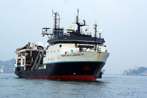
Loading map…
PortStation
Operating area: US, offshore NC Cape Fear and Cape Lookout landslides area, Eastern North American passive margin, slope and continental rise, Carolina Trough, Offshore North Carolina
Route: Norfolk (Virginia) - United States → Port Canaveral (Florida) - United States
May 9 – Jun 10, 202332 days at seaactual: departed May 9, 2023, arrived Jun 10, 2023
Apr 2023
May
Jun
Jul
Marcus G Langseth
Lamont-Doherty Earth Observatory
Galápagos PlumeRidge — Pacific Equator Extending 420 nmi west of the Galapagos archipelago and 420 mmi to the north and south.Cape Fear slide — US, offshore NC Cape Fear and Cape Lookout landslides area, Eastern North American passive margin, slope and continental rise, Carolina Trough, Offshore North CarolinaCayman Seismicity 2 of 2 - OBS recovery — Cayman Trough Mid-Cayman spreading center, Caribbean Sea Op Area Size/Dia.: 20
Project aboard
SF Ocean Sciences, Marine Geology & Geophysics (PD 17-1620). The Marine Geology and Geophysics Core Program supports research on all aspects of the geology and geophysics of the present ocean basins and margins, as well as those of the Great Lakes.
People aboard
- Anne Becel · Principal investigator
Party size: 14
Estimated vacant berths: 21
Equipment
Aboard the vessel
- Echosounder, 3.5kHz CHIRP
- Multibeam - Deep Water (EM122, EM124)
- Biological multi-frequency echosounder - EK80
Pooled / portable
- Ocean Bottom Seismometers - Other
- Magnetometer (towed)
- Portable Seismic System
Schedule data from UNOLS Marine Facilities Planning · MFP reference 21/625 · synced Sep 24, 2026