Costa Rica GNSS-A 2023
Completed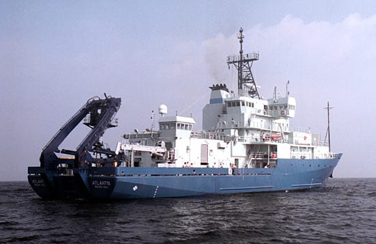
Operating area: Offshore Costa Rica and Nicaragua
Route: San Diego (California) - United States → Golfito (Puntarenas) - Costa Rica
Project aboard
One of the challenges in subduction zone hazard assessment is understanding whether a large or great earthquake will be accompanied by a catastrophic tsunami. While subduction zones routinely produce large and great earthquakes, not all of these earthquakes produce significant tsunamis. Measurements of shallow, up-dip slip-deficit near the trench can provide critical information on this question but are hampered by the difficulty and cost of obtaining accurate seafloor geodetic data. This proposal describes a collaborative international effort to deploy state-of the art sea floor geodesy equipment offshore Central America, in two transects sampling adjacent segments of the subduction zone. The two segments contrast in key geological and geophysical characteristics, facilitating hypothesis testing.
People aboard
- Surui Xie · Chief scientist
- Mark Zumberge · Principal investigator
Party size: 10
Estimated vacant berths: 27
Equipment
Aboard the vessel
- Ship Fitted Winches & Wires
- Crane
- Stern A-Frame
- Dynamic Positioning (DP)
- Meteorological Data
- Multibeam - Deep Water (EM122, EM124)
Pooled / portable
- CTD
Schedule data from UNOLS Marine Facilities Planning · operator cruise code AT50-35_Zumberge · MFP reference 22/2694 · synced Sep 24, 2026