GNSS-A shallow testing
Completed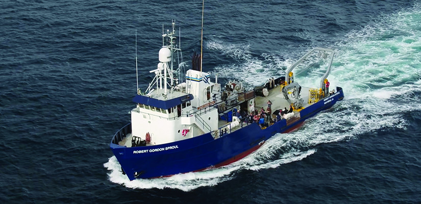
Planned route: 2 segments · ~4 hours steaming · 1 station
Operating area: La Jolla, CA
Route: San Diego (California) - United States → San Diego (California) - United States
Project aboard
GNSS-A (Global Navigation Satellite System-Acoustic ranging) is the leading method currently advancing seafloor geodesy. In this technique, the position of a sea surface platform is recorded with GNSS while acoustic ranges between it and seafloor transponders enable the position of benchmarks on the seafloor to be determined in a global reference frame with centimeter accuracy. We believe that in a shallow (few hundred meters) water environment only a single transponder and a day of surveying are needed to achieve 1 cm accuracy. We propose to test this hypothesis by siting a single transponder offshore San Diego and surveying it multiple times over a one year period to establish the accuracy of the single-transponder short-term-survey approach. As part of this we will design and construct a trawl-proof housing for the transponder and sample the water column sound velocity profile with CTD measurements to assess the possibility of any potential bias caused by deviations from the sound-speed stratification assumption.
People aboard
- Mark Zumberge · Principal investigator
Party size: 4
Estimated vacant berths: 8
Equipment
Aboard the vessel
- Meteorological Data
- Echosounder, 12kHz
Pooled / portable
- CTD
- XBT
Schedule data from UNOLS Marine Facilities Planning · operator cruise code SP2408 Zumberge · MFP reference 22/1410 · synced Sep 24, 2026